

Space-based monitoring of land use
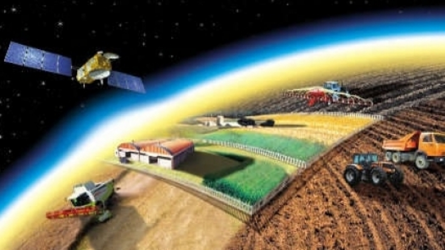
Monitoring of agricultural plots, areas provided for individual housing constructions and business facilities can now be conducted using satellite images. A special geo-information portal was launched in West Kazakhstan region as part of the “Digital Kazakhstan” program. Developers promised that with the launch of the portal, the land relations sphere will become more transparent. More than 900,000 hectares of unused land in the region was detected in the past two years. 116,000 hectares out of these have already been returned to the state ownership. Before, it took several days to carry out such monitoring, but now it takes a few minutes.
“To date, the integration of the geoportal with 62 information systems has been completed. These are “Real property register”, “address register”, “state database with individuals”. The geoportal will allow to quickly receive all the necessary information and quickly provide public services,” said Murat Umraleyev, Head of Land Relations department, West Kazakhstan region.